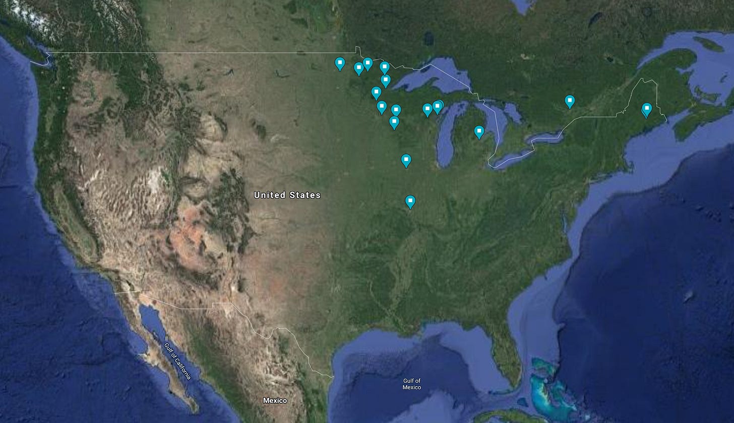
Lumber Map so far...
This is a map of the locations I’ve marked for further research in my white pine lumber industry history research project. They’re just the first of many, but in the spirit of documenting this in real-time I thought I’d start marking them on a Google Map. In the future, I’ll need to make my own map – partly because I’ll need to draw in the river systems and the early logging railroads that made these places important. So far, the rivers I’ll need to add to the map include the Mississippi, Missouri, St. Croix, Chippewa, Ohio, Snake, Crow Wing, Minnesota, Susquehanna, Rum, and the Ottawa. I’m sure there will be more, as there’ll be more locations. THEN I’ll start making a list of people to check out. To be continued…
(Image: Google Maps with my “pins”)


